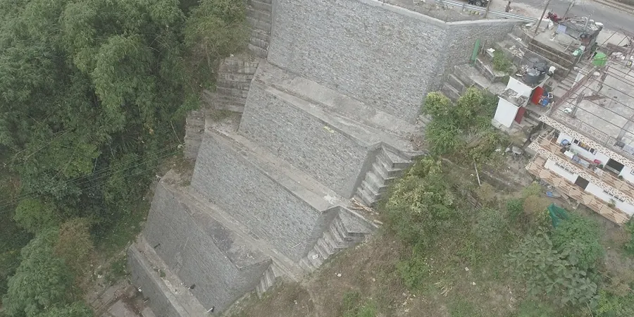
The contrast between the decomposed granite slopes near Shady Canyon and the soft alluvial clays around the Irvine Business Complex tells you everything about why a single approach to slope stability analysis never works here. In the hills, we typically run circular failure models on materials that behave like dense sand with some cohesion. Down in the flatlands, where the old San Joaquin Marsh was filled, the failure surfaces tend to be shallow and planar, often controlled by thin clay lenses. That is why our team treats each Irvine project independently, coupling resistivity surveys with borehole data to map those hidden weak layers before we even open a limit-equilibrium file.
The shallow phreatic surface in central Irvine is the main trigger for translational slides in older terrace deposits.
Methodology and scope
Local considerations
We bring a portable drill rig with continuous sampling capability to every Irvine hillside site. The rig can reach 15 meters, which is usually enough to cross the weak zone into the underlying weathered bedrock. But the real challenge is the colluvium mantle — it can be as thin as 1 meter near the ridgelines and over 6 meters thick in the swales. If you miss that thickness variation, your slope stability analysis will show a factor of safety that looks good on paper but fails in the first wet winter. We log every core immediately and adjust the model stratigraphy in the field, not back at the office.
Applicable standards
ASTM D3080-18 (Direct Shear), ASTM D4767-11 (Consolidated-Undrained Triaxial), FHWA-NHI-05-077 (Slope Stability Manual), IBC 2021 Section 1806 (Excavation and Grading)
Associated technical services
Limit-Equilibrium Modeling (LEM)
Bishop, Spencer, and Morgenstern-Price methods run on 2D cross-sections built from borehole logs and CPT soundings. We calibrate the failure envelope using site-specific triaxial data.
Finite-Element Seepage & Stability Coupling
Transient groundwater analysis using SEEP/W tied to SLOPE/W to simulate rapid drawdown or prolonged rainfall events — critical for the alluvial slopes near the 405 corridor.
Reinforcement Design Verification
For cut slopes and fills, we compute required shear resistance from soil nails or geogrids and verify internal and external stability per AASHTO LRFD and FHWA guidelines.
Typical parameters
Frequently asked questions
What factor of safety does the City of Irvine require for permanent slopes?
The City of Irvine adopts IBC 2021: minimum 1.5 for static conditions and 1.1 for pseudo-static seismic loading. Steeper slopes or those adjacent to existing structures may require 1.5 static with a 1.2 seismic check.
How does shallow groundwater in the San Diego Creek basin affect slope stability?
Shallow groundwater reduces effective stress and can trigger translational slides along clay partings. We always model worst-case phreatic surface elevations using monitoring wells installed at the toe and crest before running the analysis.
Can slope stability analysis be done with only SPT data?
Not reliably. SPT blow counts give a rough strength range, but we need undisturbed sampling and triaxial or direct shear testing to get the cohesion and friction angle that govern the failure surface. SPT alone leads to over-conservative or unsafe designs.
What is the typical cost range for a slope stability study in Irvine?
For a standard residential hillside lot, expect between US$1,230 and US$4,060 depending on slope height, number of sections, and testing requirements. Larger commercial grading projects at the edge of the Santa Ana Mountains can run higher due to deeper borings and seepage modeling.